Venice’s waterways form a working transport network. The shortest line on a map is not always a navigable route, and the most beautiful canal is not necessarily the landing closest to your destination.
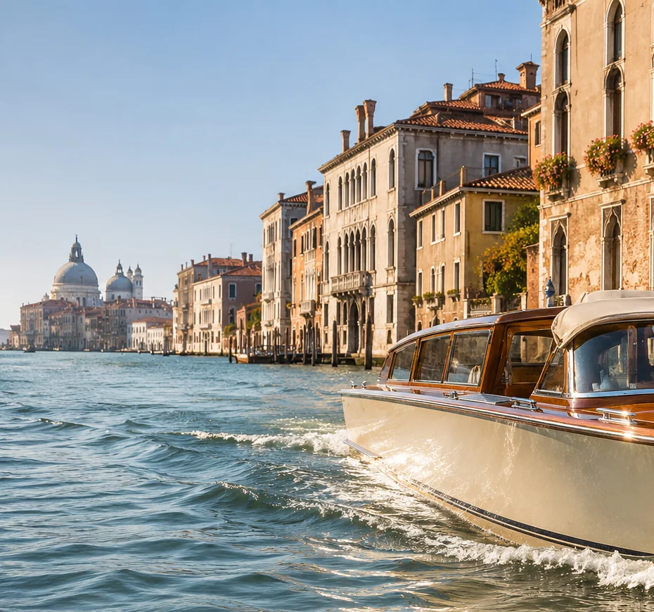
Grand Canal: the great curve
The Grand Canal traces an S-shaped route through the historic centre, connecting areas near Santa Lucia, Rialto and San Marco. Its broad water corridor is also busy with public and service vessels. See our detailed Grand Canal guide for bridges and landmarks.
Cannaregio and the northern approaches
The Cannaregio Canal connects the north-western waterfront with the Grand Canal. Nearby fondamenta and smaller rii reveal a different rhythm of Venice; some stretches are more practical to explore on foot than by motorboat.
Giudecca Canal and open water
South of the historic centre, the wide Giudecca Canal separates Giudecca from the main islands. Its exposure, vessel traffic and pier positions differ markedly from intimate inner canals.
A maze of smaller rii
A small rio may be visually inviting but not usable by every vessel. When discussing a transfer, identify an accessible named landing rather than assuming the boat can pass your front door.
A useful checklist
Grand Canal — central waterway
Cannaregio Canal — northern connection
Giudecca Canal — broad southern passage
Small rii — local access varies
Official travel resources
For current rules and service information, consult the organisations responsible:
Have a route in mind? Include the exact departure and destination.
Write an enquiry ↗